Leading the industry in aerial data integration
Our mission is to unlock agriculture’s potential through solid science and objective agronomy. We empower progressive farmers with data
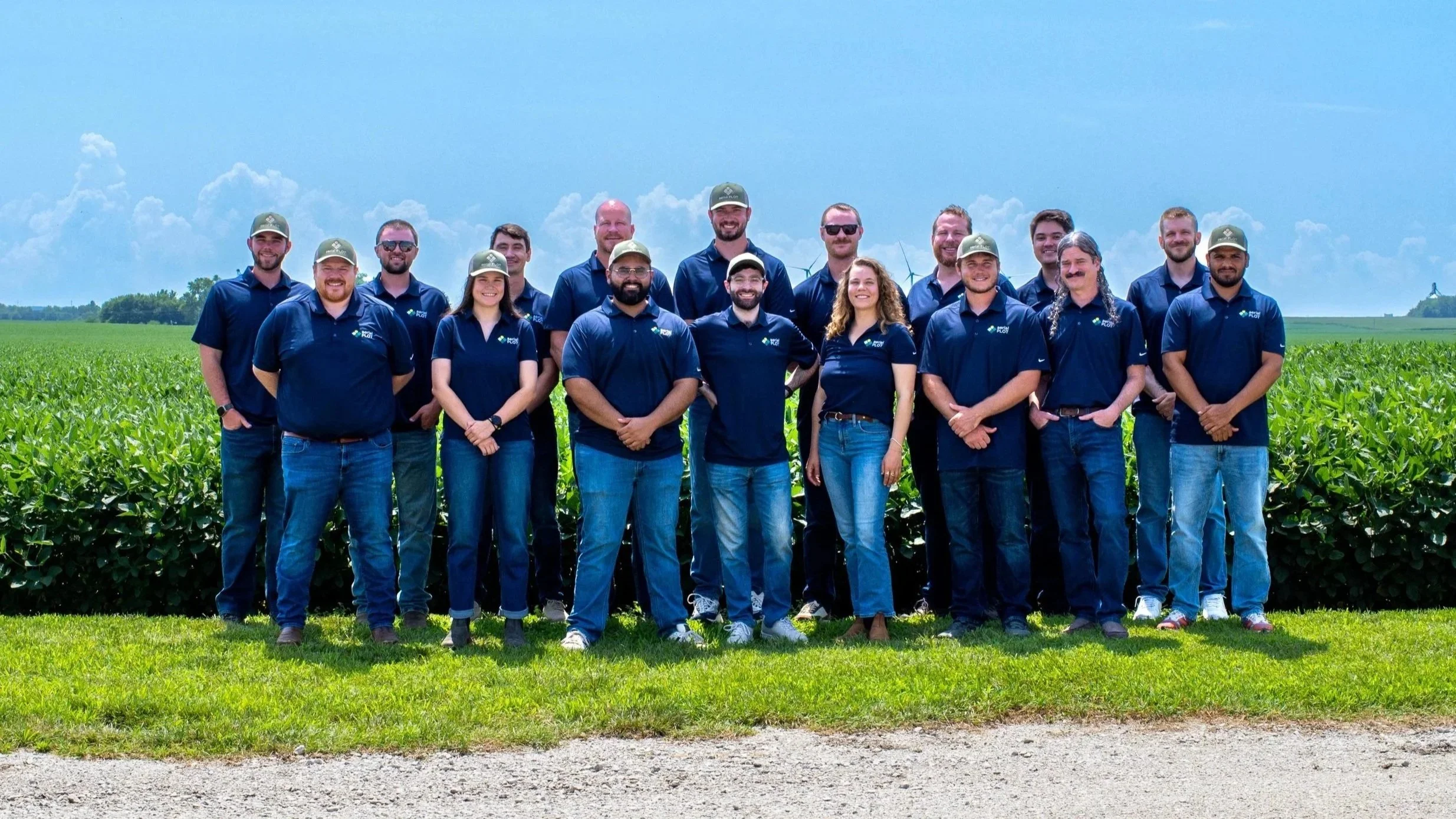
Our team stands together to bring a modern mindset to the business and science of agriculture
Our history is rooted in generations of family farming expertise. We combine common sense agronomy with cutting-edge technology
-

Jeremiah Roeth, PhD
CEO
-

Gary Nijak Jr., P.E.
COO
-
Brady Dreamer
MANAGER, FIELD OPERATIONS
-
Gabe Abdullah
MANAGER, SOFTWARE DEVELOPMENT
-

Kaitlin Rim
DIGITAL AGRONOMIST II / LEAD, CLIENT ENGAGEMENT
-
Travis Benson
DIGITAL AGRONOMIST / LEAD, DATA QC
-
Hunter Donaldson
DIGITAL AGRONOMIST / LEAD, BYOD
-

Alex Rice
SENIOR SOFTWARE DEVELOPER
-

Deniz Guler
SOFTWARE DEVELOPER II
-
Barrett Gruber
SENIOR DATA SCIENTIST
-

Manoj Gadhwal
DATA SCIENTIST
-
Samuel Blair
DATA SCIENTIST
-

Darek Bornemeier
DIGITAL AGRONOMIST
-

Nick Redford
DIGITAL AGRONOMIST
-

Claudia Campbell
DIGITAL AGRONOMIST
-

Nolan Mueller
DIGITAL AGRONOMIST
-

Justin Roeth
DIGITAL AGRONOMIST (PART-TIME)