
Agriculture Drone Services for Research Grade Data
RGB, multispectral, and thermal UAV services designed for field research, phenotyping, and decision-ready analytics—with NDAA-aligned options available
Research grade workflows
Season long time series
Single on demand flights
Calibrated multispectral captures
NDAA Compliant UAV Options
Cloud delivery + collaboratio
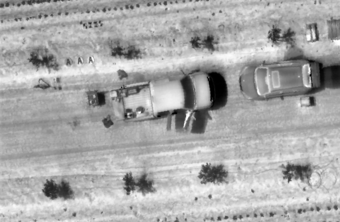
High resolution RGB Imagery
Stand Counts, Emergence, Loding, Visual Context
Visual QC and annotation ready outputs
Camera Brands: DJI, Sentera, Sony
RGB Imagery
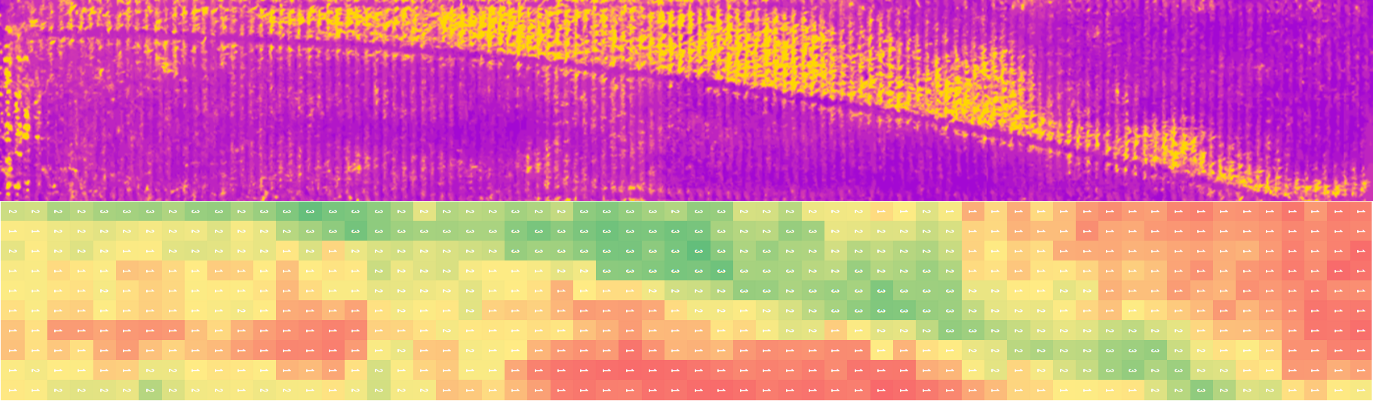
Narrowband multispectral for vegetative indices
Consistent calibration for cross-site compatibility
Designed for digital phenotyping and modeling
Camera Options:
EagleNXT/AgEagle/Micasense -Altum, Altum PT, Rededge MX Dual, RedEdge P Dual,
Sentera 6X
DJI Mavic 3 Multispectral
Multispectral Imagery
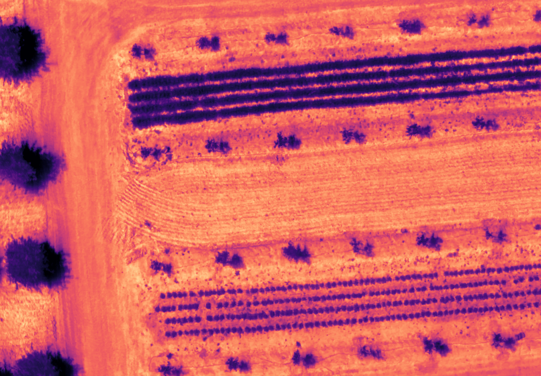
Canopy temperature and relative stress detection
Supports irrigation, water-use, and stress response studies
Integrated with RGB and multispectral layers
Camera Options:
DJI H20T and XT2
EagleNXT Altum and Altum PT
Thermal Imagery
Many government, enterprise, and security-reviewed programs require UAV platforms and workflows aligned with NDAA Section 848 restrictions. aerialFLIGHT supports NDAA-aligned operations using vetted aircraft pathways and controlled data workflows—without compromising agronomic data quality
NDAA Compliant & Secure Operations
NDAA aircraft options (Inspired Flight)
Secure Data Handling and Access Controls
Suitable for regulated and university research programs
Bring Your Own Data (BYOD) Pathways for Compliant Customer-Owned Aircraft
Talk to us about compliant workflows
Interested in learning more?
Reach out to our team about our drone flight services and to find out how aerial PLOT can help your teams build better data back decisions and more future-friendly forecasts.