

Research-grade imagery, captured right.
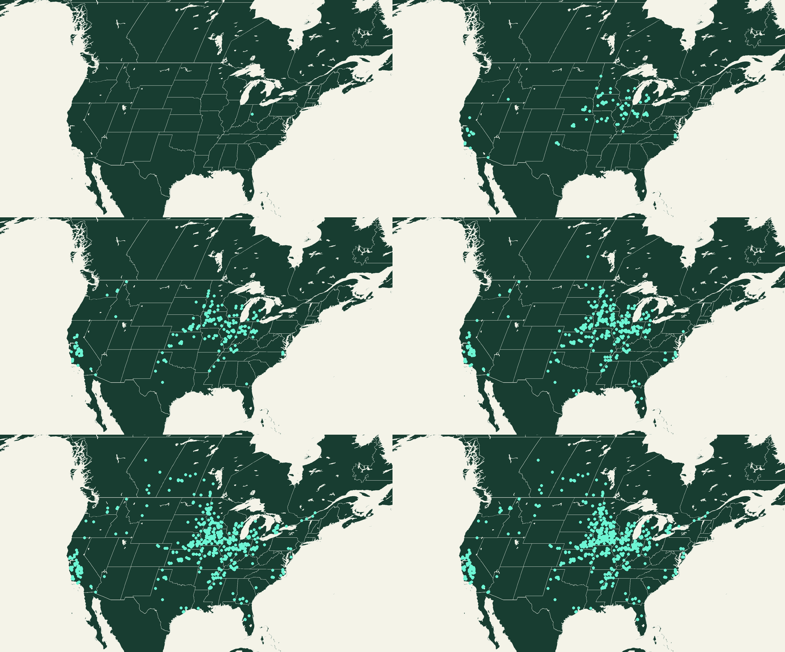
RGB, multispectral and thermal UAV services for field research — the first step in the research-to-revenue engine.
Standardized pilot operations
Season-long time series or single on-demand flights
NDAA-compliant options
NDAA compliant options
Cloud delivery through aerialFARMS
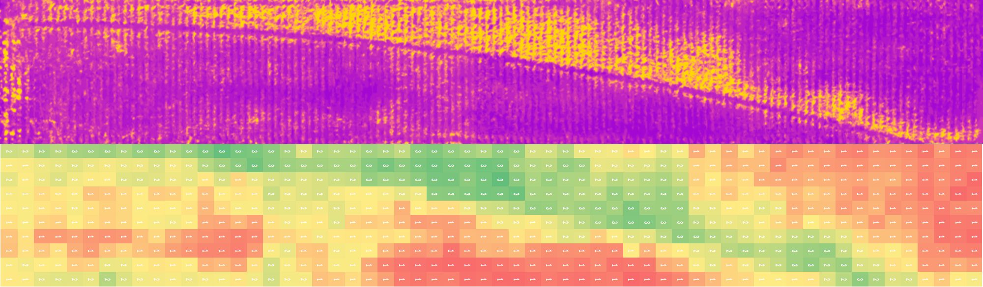
• Stand Counts, Emergence, Lodging, Visual Context
• Visual QC and annotation-ready outputs
• Sensors: DJI, Sentera, Sony
RGB Imagery
• Crop health and growth tracking
• Calibrated for cross-site comparison
• Sensors: AgEagle/MicaSense, Sentera, DJI
Multispectral Imagery
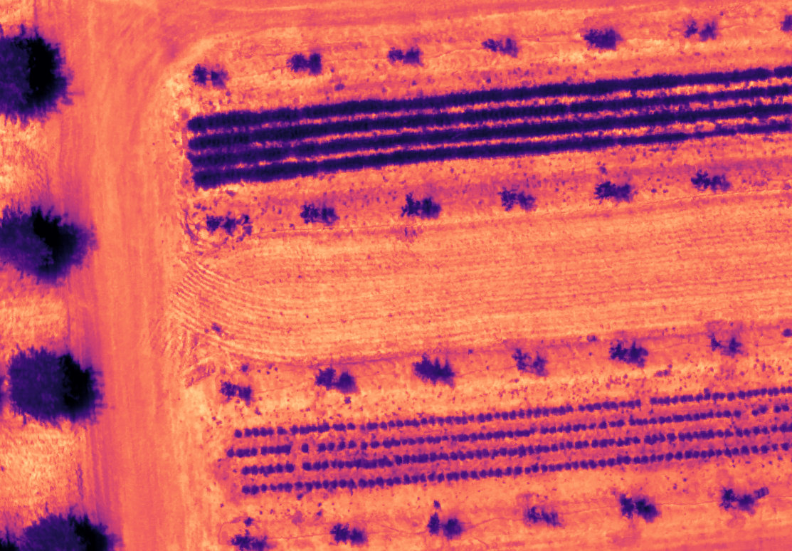
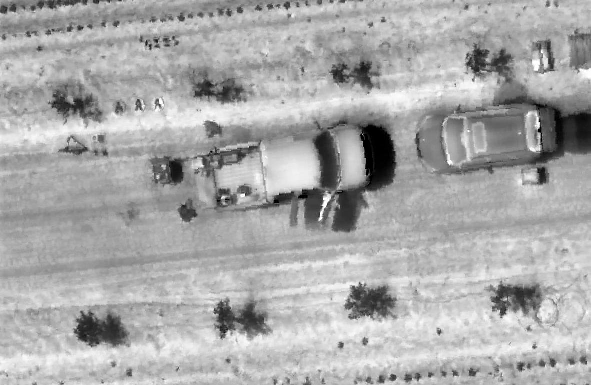
• Canopy temperature and stress detection
• Irrigation, water-use and stress-response studies
• Sensors: DJI, AgEagle
Thermal Imagery
Many government, enterprise and security-reviewed programs require UAV platforms aligned with NDAA Section 848. aerialFLIGHT supports them with vetted aircraft and controlled data workflows.
NDAA Compliant & Secure Operations
• NDAA aircraft options (Inspired Flight)
• Secure data handling and access controls
• Suited to regulated and university research
• Bring Your Own Data (BYOD) pathways for customer-owned aircraft
Talk to us about compliant workflows
Need flights this season? Let’s talk.
Tell us your crops, sites and timing — we’ll plan the flights.